Bienvenue sur la plateforme Web-mapping pour le suivi opérationnel de la dégradation des terres dans les communes d’intervention du PTCS
Public
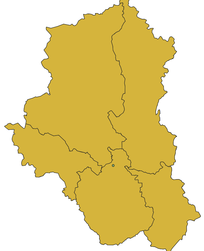
-
- Illustration

- Title
- Carte_mapping.qgz
- Abstract
-
- Projection
- EPSG:32630
- Bounding Box
- 545475.91570000001229346, 1385207.94470000010915101, 807668.17440000001806766, 1642202.55939999991096556
-
- Illustration
- Title
- Projet Test Indicateur
- Abstract
-
- Projection
- EPSG:32630
- Bounding Box
- 581809.09140000003390014, 1298369.26359999994747341, 884706.35789999994449317, 1557542.86609999998472631
-
- Illustration

- Title
- Indicateurs SP CNDD
- Abstract
-
- Projection
- EPSG:32630
- Bounding Box
- 424845.40519999997923151, 1226082.6977999999653548, 1056287.23080000001937151, 1577844.81070000003091991
-
- Illustration
- Title
- Projet Test Wordima
- Abstract
-
- Projection
- EPSG:32630
- Bounding Box
- 536893.29040000005625188, 1309539.66250000009313226, 1004659.56330000003799796, 1570121.78710000007413328
-
- Illustration
- Title
- Projet test Remi
- Abstract
-
- Projection
- EPSG:32630
- Bounding Box
- 432870.09320000000298023, 1291561.90229999995790422, 990521.70120000001043081, 1552942.92189999995753169